


Creating accurate maps has always been the business of governments. In recent times, it’s been the business of private companies such as Google and Apple. But for foresters, farmers, miners and land developers, mapmaking has been part of their story for hundreds of years. Maps have been part of our lives before civilization was born. Spatial thinking is in all of our brains and bones. Even if you think you’re bad at giving directions, who doesn’t remember their way to the TV, refrigerator, or bathroom?
I started making maps straight out of university at an urban planning firm. It was hard, but I loved it. I learned then that before I made my maps someone else had already made a base map for me to draw on. Before I made my designs, I needed to know the ups and downs and what was all around my client’s land – trees, a lake or stream, soil, roads, and even snakes (endangered little fellas!) That’s when I learned about aerial photography and the science of its metrics, photogrammetry. There are many who know much more than me about this topic, so I won’t go into detail about epipolar geometry, parallax, or forward intersection because these days I focus on the business of making and selling maps.
Today, cameras are put in many places (air planes, cars, drones, and phones) which means there’s a plethora positioning and distortion issues to solve before the data these platforms provide are useful for mapmaking. Photons are photons. Software can help greatly to enhance real world data collected at the limits of the hardware used. The point is, there are huge volumes of geo-data available to us and we can’t see and interpret it all. We need machines to help find the relevant answers.
I’m so excited to see demand for maps is only increasing, and exponentially. Why? Because the brains in our phone, drones, and cars all need maps. Many of the maps made for machines today are minimalistic representations of the real world. That’s all their sensors need or support. But more detailed maps are coming for your driving, gaming, and working pleasure:
- Autonomous navigation – simulation startups, HD maps from traditional and new players
- Augmented and mixed reality – Construction progress assessment and visualization
- Insurance risks management – Pre and post-disaster automated claims analysis

(Image: Massive simulations combined with real-world input are being used more often to training autonomous vehicle navigation software)
Governments and taxes have always paid for the creation of maps; for defence, to manage forests and agriculture, to plan cities and towns and more. But in recent times, technology companies have spent billions mapping the world. But their returns are handsome, from the ad revenue they receive and through phone purchases. Content is given away for free because our eyeballs are the products.
In the B2B space, there’s a vibrant map-making community feeding customer’s needs. Many professional users need more metadata or frequency that consumer tech companies don’t provide. And many enterprises need close integration within corporate workflows. This drives organizations to pay for better maps. This leads people to the HxGN Content Program where accuracy is verified and the metadata complete.

(Image: MapandRoute.de with imagery from HxGN Content Program – Demo Viewer)
As costs come down and the usage increases, affordability is creating a new class of applications that are powered by cloud-based IT and automated analytics. Today, we’ve got a wide range of industries paying for geospatial content. Nowadays hunters, landscapers, roofers, realtors, title insurance agents, claims adjusters, and many more are using geospatial content on a regular basis. So, there’s a multitude of different reasons why people are paying for geo data today.
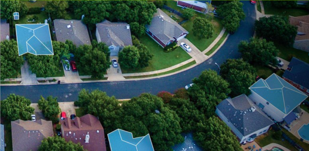
(Image: Roof reports are widely available in the US)