Which imagery is better, aerial or satellite?
It would save everyone a lot of time to have a definitive answer to the question, “Which is better, aerial…

It would save everyone a lot of time to have a definitive answer to the question, “Which is better, aerial…

It’s estimated it took until the early 1800s for the world population to reach one billion – then in just…

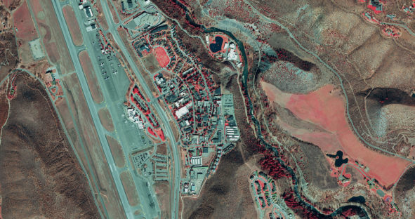
When Pitkin County Geospatial Technical Lead Mary Lackner put out a Request for Proposal (RFP) for aerial imagery of the…

Discover how a statewide orthoimage basemap supports the deployment of the Kansas emergency service call system. The Kansas 9-1-1 Coordinating…