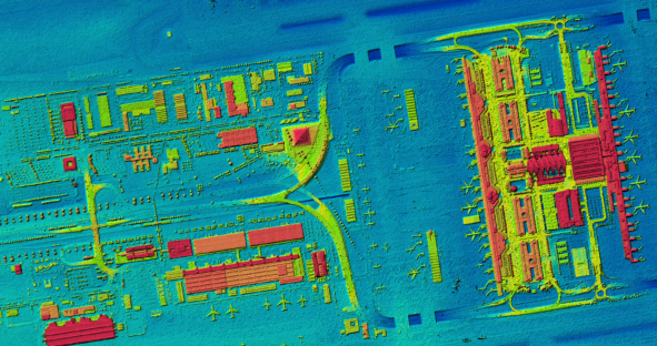
First current, homogeneous and countrywide digital surface model (DSM) of Germany based on aerial data The federal structure of the…

First current, homogeneous and countrywide digital surface model (DSM) of Germany based on aerial data The federal structure of the…
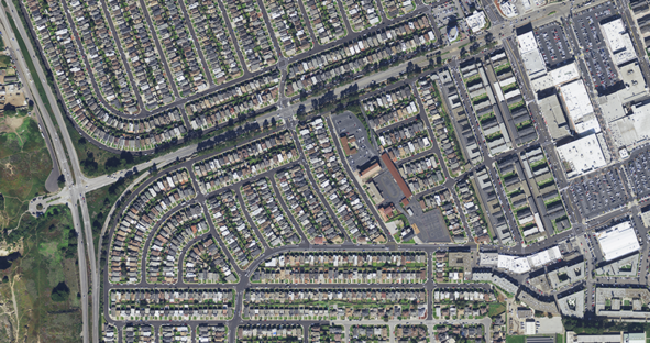
This article was originally posted on Filling Space. Geospatial imagery provides valuable information about Earth’s surface which can provide useful…
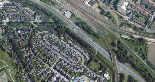
The HxGN Content Program has undergone many updates since its announcement in 2014. From now providing 3D models to high-definition…
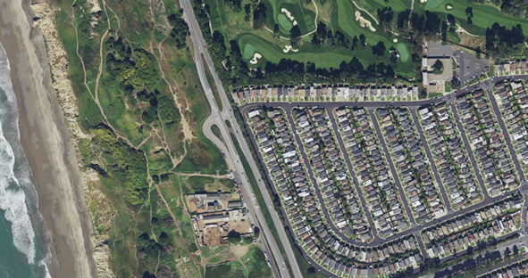
The HxGN Content Program, which provides access to aerial imagery data for professional use, has launched a new web streaming…
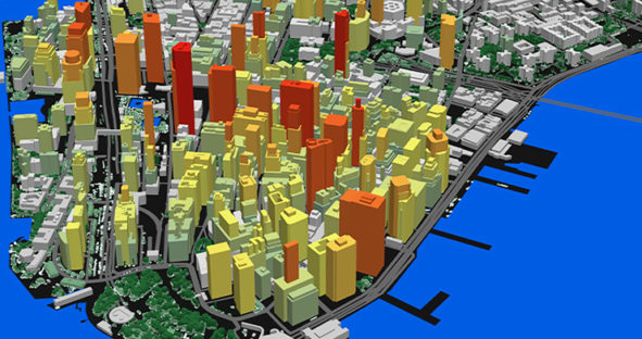
The development of fifth generation wireless technology (5G) is spreading rapidly around the world. The initial improvement of up to…