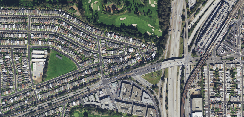
Latest collection covers 26 states
WASHINGTON, D.C., USA (23 April 2019) — Hexagon’s Geosystems division announced today the HxGN Content Program, providing access to ortho imagery for professional use, is releasing about a quarter million square kilometres of new 15-centimetre resolution aerial imagery of metropolitan centres and more than 4 million km2 of 30-cm resolution coverage of the United States.
The latest collection covers 15-cm resolution aerial imagery data equalling 244,091.97 km2 of urban locations and another 4,218,843.76 km2 of 30-cm resolution coverage of 26 states in the U.S.
“For the last five years, through our HxGN Content Program, we have been giving our customers unique capabilities and insights, enabling a new era of airborne imagery information,” said John Welter, Hexagon’s Geospatial Content Solutions president. “We have a highly-skilled team of mapping professionals who quality control the data, providing an orthophoto map of the United States of unmatched quality and positional accuracy.”
Immediately available and ready-to-use data
Launched in June 2014, the HxGN Content Program, provides geospatial content and delivers professional-grade airborne images captured with Leica Geosystems’ airborne sensors. Understanding the importance of an accurate and up-to-date environment and resources, with the release of the new data sets of 15-cm and 30-cm resolution, GIS professionals can access updated aerial imagery to be used in various applications serving a variety of industries, including construction, oil and gas, utilities, forestry, insurance, safety and security, and government projects.
For more information or to see a demo, please visit https://hxgncontent.com/


