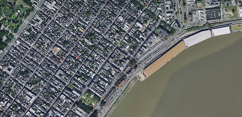
In support of the recovery and humanitarian efforts associated with Hurricane Ida, Hexagon is offering Louisiana’s pre-disaster aerial imagery freely to first responders, civic support agencies, and non-profit organizations via on-demand streaming through the HxGN Content Program.
The Content Program’s high-resolution aerial imagery is orthorectified and cloud-free, making it a reliable resource for first responders and organizations to confidently assess damages, visualize needs, plan coordination efforts, and improve response. Louisiana’s imagery is delivered on demand via streaming at no cost to assist in making informed decisions that impact the wellbeing of those affected by Ida.
Pre-disaster aerial imagery can be used in many ways to respond to a natural disaster or crisis:
- Create baseline maps to compare with imagery acquired after an event;
- Prioritize mitigation and preparedness activities in the area;
- Pinpoint potential hazards, such as areas at risk of flooding, potential landslides, and dangerous zones;
- Identify access and evacuation routes;
- Discern wildlife in the affected area;
- Determine areas or zones that need to be prioritized;
- Identify built-up urban areas.
Please contact us at [email protected] to start streaming Louisiana’s pre-disaster aerial imagery.


