












We are excited to announce that Hexagon’s Scanning and Mapping Division has been awarded a new statewide imagery contract with the California Department of Technology.
This award builds on the strong partnership between Hexagon and the State of California that has spanned the past six years. What started as a focused initiative has grown into a geospatial foundation, with Hexagon providing regularly updated statewide aerial orthoimagery while building a comprehensive data library spanning from 2018 to 2026.
“Access to consistent, high-quality aerial imagery provides a critical foundation for decision-making across California,” said Lothar Petrik, California’s State Geographic Information Officer. “This program ensures agencies and users statewide can plan, coordinate, and respond with confidence.”

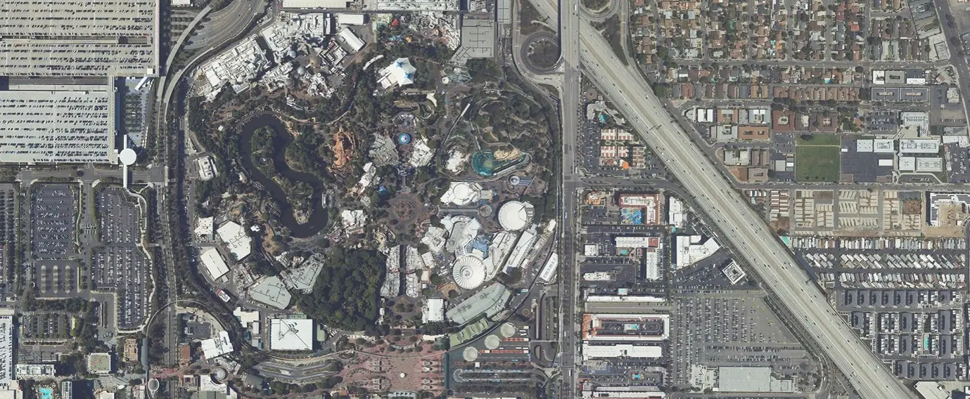
RGB and CIR aerial imagery captured in Los Angeles
Currently, Hexagon is in the air, capturing the next statewide imagery refresh at 6-inch resolution, leveraging our state-of-the-art large-scale airborne imaging system, the Leica DMC-4X. The imagery will support a broad range of applications and critical operations, including environmental monitoring, infrastructure planning, fire prevention, and emergency response.
“This program is an example of what can be achieved with consistent data and long-term commitment,” said Phil Weinstein, CLO of Hexagon’s Scanning and Mapping Division. “We are proud to support California with an efficient, cost-effective statewide imagery program delivering immediate operational value and long-term insights.”
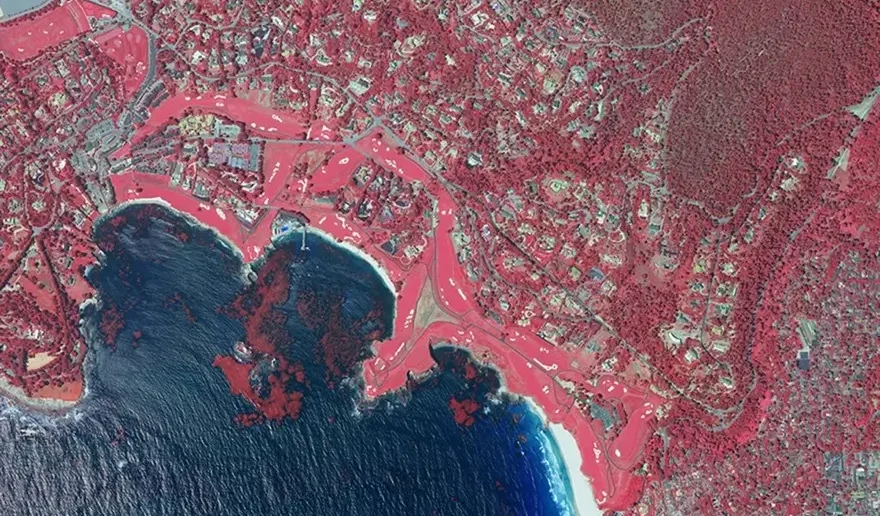
CIR aerial imagery captured in Pebble Beach, California