Good enough for government work.
You may have heard this in a condescending tone before, but did you know that originally it meant the exact opposite?
Today, this glib comment typically translates into work that is just good enough to get by, but that wasn’t always the case. Coming into the U.S. lexicon during World War II, the phrase actually meant a product met the highest quality of standards, so high in fact that even the American government would accept it. The phrase took an ironic turn around the country’s tumultuous Vietnam War era into the offhanded saying it is today.
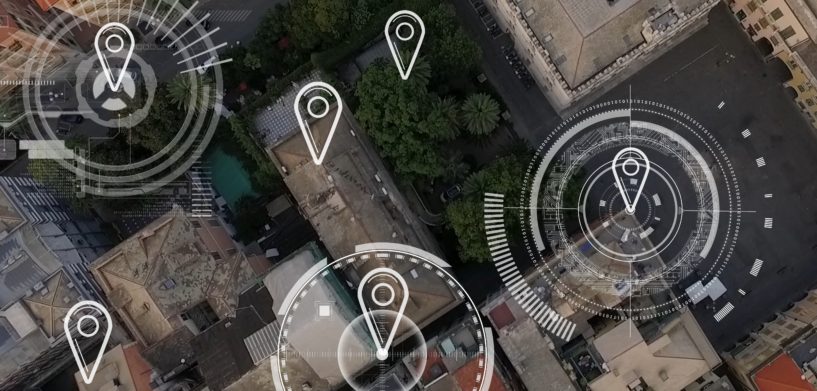
For airborne content, though, the original meaning still sticks. When it comes to government needs, whether the U.S. or other, accuracy is paramount. That’s why the HxGN Content Program supports government programs, such as flood mapping to cadastral surveying, with centimetre-level data with airborne data.
Not just a pretty picture
When it comes to government applications for airborne imagery, the highest amount of detail is needed. A tax accessor determining property boundaries can rely on the highest quality imagery as defined specifications are adhered to, including thousands of ground control points to ensure required accuracy is achieved and consistent metadata is provided.
What about a smart city planner trying to plot green spaces and infrastructure? With full states collected during a single acquisition season, instead of over several seasons or years, the planner can trust he is working with uniform radiometry across four bands of ortho imagery.
An emergency management geographic information system (GIS) has the ability to directly use the content in any third-party protocol, such as ArcGIS or OGC. The affordable and straightforward subscription pricing model offers unlimted use within any software application.
With 15-centimetre resolution for urban area coverage (UAC) and 30-centimetre resolution for wide area coverage (WAC), tax accessors, city planners and emergency management personnel can rest assured they are receiving the highest resolution content to make the most informed decisions.
Up close and fresh
While centimetre resolution is important, so is content that is regularly updated. Topographies change frequently, and government (and civilian) applications need to continually keep up with that change. With consistent imagery, change detection can happen quickly and easily.
Consider:
- Tax assessments can be conducted on an annual basis
- City planning occurs on a daily basis
- Emergency management routes are reviewed regularly
With these frequent updates, the need for the freshest data is high.
HxGN Content Program data is collected and processed on a regular schedule to ensure the latest information is accessible at any time. Already in only three years’ time, 18 U.S. states have been refreshed along with plans for capturing and refreshing 23 Canadian cities and capturing approximately 650,000 km² in Europe this year alone.
What can centimeter-level content do for you?
High resolution content with the highest quality is what is needed to provide for communities and protect citizens. We are proud to say the HxGN Content Program data is good enough for government work.
Find out what centimetre-level content can do for you.
Bruce Wald is the chief operating officer for the Hexagon Geosystems Content & Engineering Services Division.


