


The HxGN Content Program offers an extensive collection of high-resolution countrywide aerial imagery across North America and Western Europe. The program collected nearly 560,000 square miles (1,450,000 square kilometers) of 4-band aerial imagery of eight states in the United States in 2022, all at 6-inch (15-centimeter) resolution.
We’re excited to launch the refreshed statewide imagery, which will be available in the first half of 2023 through streaming and pixel download.
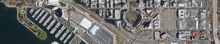
California
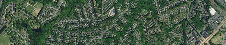
6-inch resolution statewide imagery is now available on the Data Store.
San Diego, CA
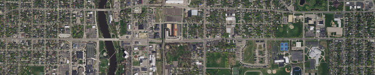
Michigan
6-inch resolution statewide imagery is now available on the Data Store.
Lansing, MI
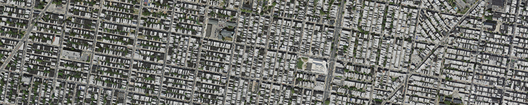
Pennsylvania
6-inch resolution statewide imagery is now available on the Data Store.
Philadelphia, PA
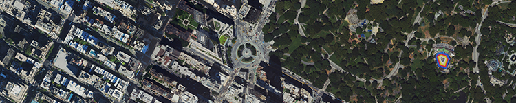
New York
6-inch resolution statewide imagery is now available on the Data Store.
New York, NY
North Carolina
6-inch resolution statewide imagery is now available on the Data Store.
Charlotte, NC
West Virginia
6-inch resolution statewide imagery is now available on the Data Store.
Elkview, WV

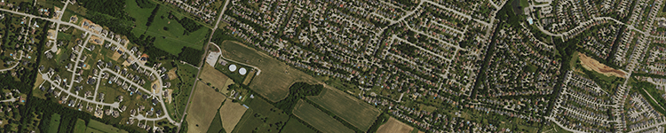
Kentucky
6-inch resolution statewide imagery is now available on the Data Store.
Lexington, KY
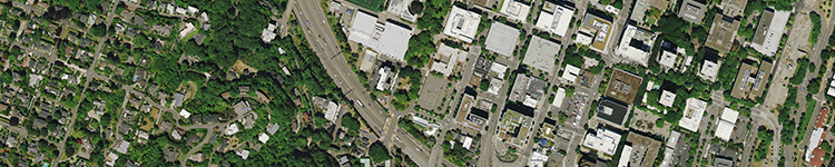
Oregon
6-inch resolution statewide imagery is now available on the Data Store.
Portland, OR
For more information about the HxGN Content Program, visit hexagon.com/contentprogram or follow us on LinkedIn.