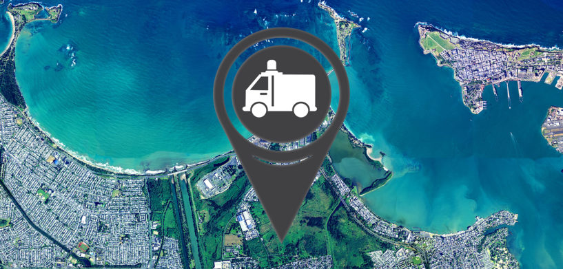
Our thoughts are with those affected by hurricanes Irma and Maria. To support recovery efforts, the HxGN Content Program is providing pre-disaster aerial imagery for those responding to the flooding and damage caused by these natural disasters. NGOs and first responders can stream HxGN Content Program orthorectified high-resolution aerial imagery from Puerto Rico and U.S. Virgin Islands at no charge via PRxTreme Corporation, a reseller to Puerto Rico Planning Board.
First responders can stream orthorectified, quality controlled, cloud-free imagery via our partner to assess damages, visualise needs, plan coordination efforts and improve response.
Importance and uses of pre-event aerial imagery for natural disasters
“Aerial imagery is increasingly being used to monitor the impact of crises and natural disasters,” said John Welter, HxGN Content Program director. “Orthorectified high-resolution aerial imagery gives an accurate and reliable representation of the captured reality, hence, it is a key source of information for effective response and recovery and even contributes to better disaster preparedness.”
During the disaster preparedness stage, aerial imagery can aid in early warning and risk assessment. In the aftermath of a disaster, specialists produce baseline information maps with pre-event imagery to provide situational awareness and crisis information to help coordinate emergency response and relief efforts.
Pre-disaster aerial imagery is needed to create baseline maps to compare the imagery acquired after an event. The imagery is also needed to create maps, spatial data products and geo-information for those responding to the natural disaster or crisis. Pre-event aerial imagery also provides the data to:
- Prioritise mitigation and preparedness activities in the area;
- Pinpoint potential hazards, such as areas in risk of flooding, potential landslides and dangerous zones;
- Identify access and evacuation routes;
- Discern wildlife in the affected area;
- Determine areas or zones that need to be prioritised;
- Identify built-up urban areas.
Orthorectified high-resolution aerial imagery from the HxGN Content Program can provide responders with data to evaluate, analyse and monitor any affected area to make informed decisions that impact the lives of other.
To access the pre-disaster aerial imagery in Puerto Rico and US Virgin Islands please contact our partner, PRxTreme Corporation.


