Combine artificial intelligence and aerial imagery for added value
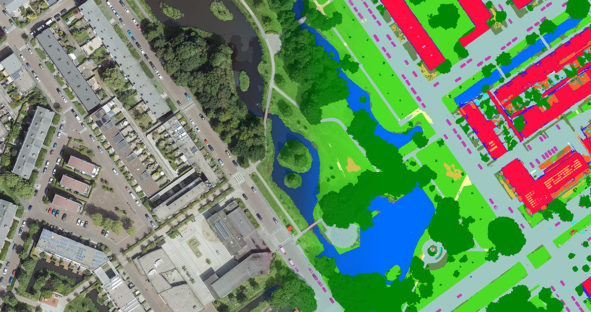
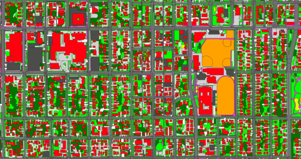
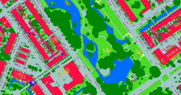
Current developments in artificial intelligence (AI), machine learning (ML) and cloud computing enable more efficient and effective analysis of big…

Current developments in artificial intelligence (AI), machine learning (ML) and cloud computing enable more efficient and effective analysis of big…

The rise of machine learning in geographic information systems (GIS) has broadened the horizon of geospatial analysis with more efficient,…

The HxGN Content Program conveniently provides subscribers access to its aerial imagery library covering the United States and large parts…

I gave an Ignite talk at a mapping conference in New Orleans in 2014 about using machine vision techniques to…