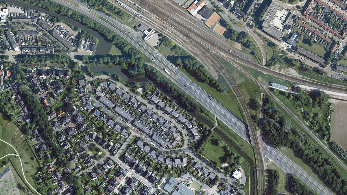
The HxGN Content Program conveniently provides subscribers access to its aerial imagery library covering the United States and large parts of Europe through the Streaming Service or via direct pixel delivery. Each dataset is ortho-rectified, accurate, and available at multiple resolutions ranging from 15 cm to 30 cm GSD. In addition, stereo imagery and Digital Surface Models (DSM) of various resolutions are offered to assist with 3D modelling.
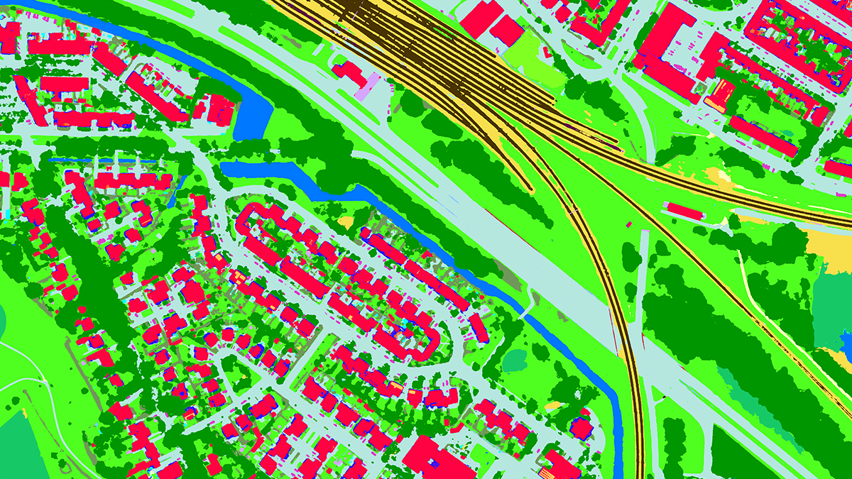
Already well-established as a source of orthophotos for use in geographic information systems (GIS), the value of high-resolution aerial imagery has moved far beyond visualisations. The HxGN Content Program is an excellent source of large quantities of highly accurate and consistent data to train machine learning algorithms. Artificial intelligence (AI) expands the opportunities for numerous applications that benefit from automated extraction of valuable information.
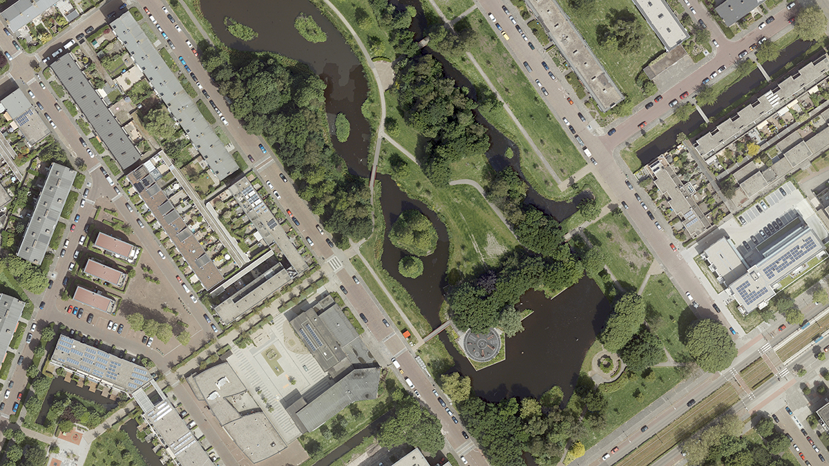
Benefits of aerial imagery for machine learning
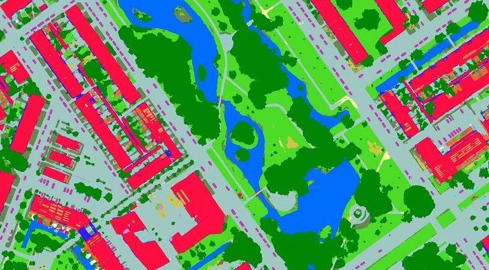
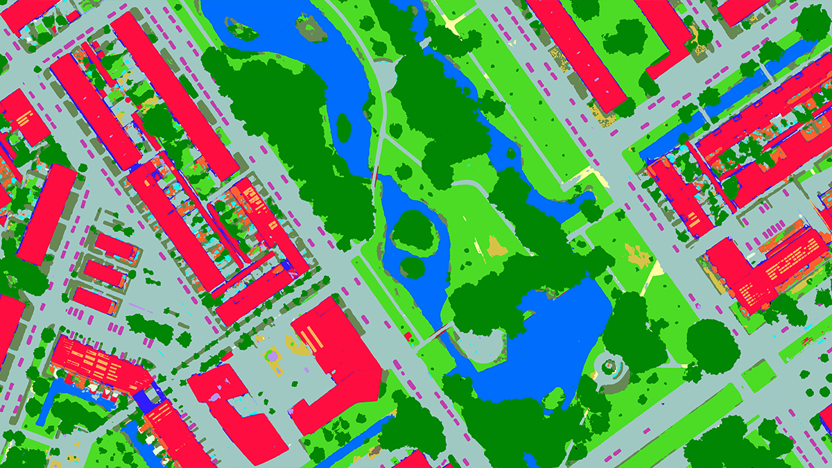
Machine learning and artificial intelligence provide the efficiency to perform analytical tasks that are beyond the capabilities of human beings. By training algorithms to automatically recognise attributes unique to an object, feature extraction, analytics and other measurements can be applied to imagery to produce actionable, location-based information.
However, machines are confused by variations in data, such as data source, resolution, seasonal differences or radiometry. Therefore, machine learning algorithms depend on large, consistent data sets to be successful. Hexagon achieves consistency by emphasizing repeatability in sensor technology, flight planning, acquisition parameters, and processing techniques. Hexagon normalizes its datasets to offer consistent input so that engines can focus on detecting the correct objects. Entire states and regions are collected in the same season to avoid a patchwork of irregular images.
A ready-made service like the HxGN Content Program provides access to large volumes of multispectral ortho imagery, DSM and stereo imagery, consistently collected with high-performance Leica Geosystems aerial sensor systems. Since its inception in 2014, the HxGN Content Program has collected 20.5 million sq km of 30 cm resolution aerial data and more than 1 million square kilometres of 15 cm data in urban centres. Database access reduces the amount of time required to curate and prepare training data and improves the algorithm success rate.
Hexagon’s service is scalable to the unique demands of machine learning. The source multispectral data is stored in a non-proprietary cloud optimized geotiff format ready for direct access through Amazon Simple Storage Service (S3), allowing high performance for customers that use major cloud providers like Google Cloud, Azure, IBM, and others.
Since there is no official standard that can be used to stream DSM and Stereo to multiple applications, Hexagon provides these datasets as download deliveries using non-proprietary formats with well-defined metadata.
Hexagon encourages production of derivative analytics based on machine learning
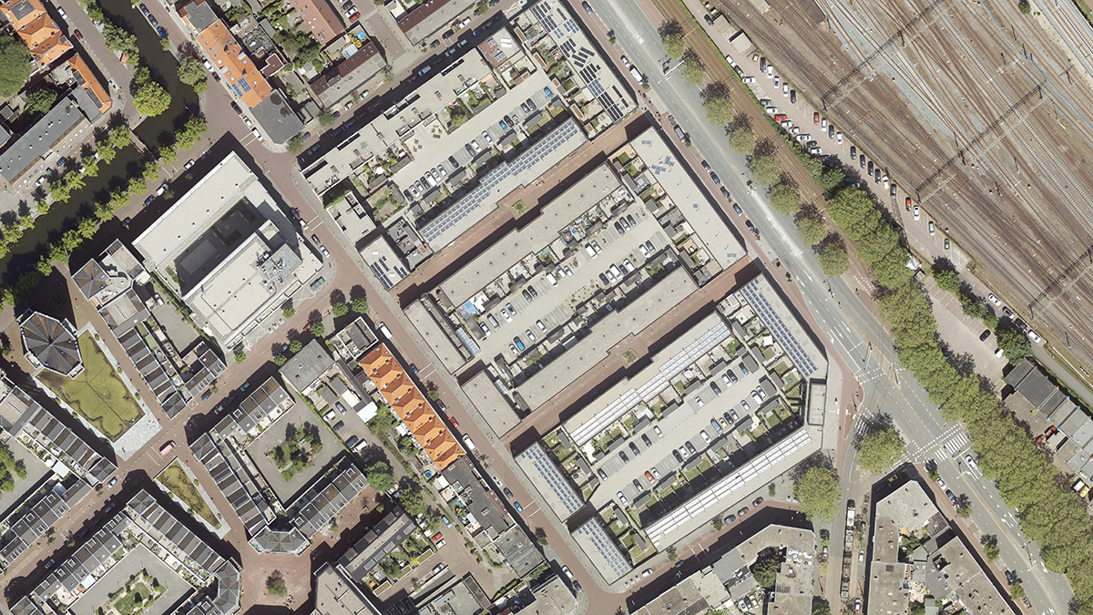
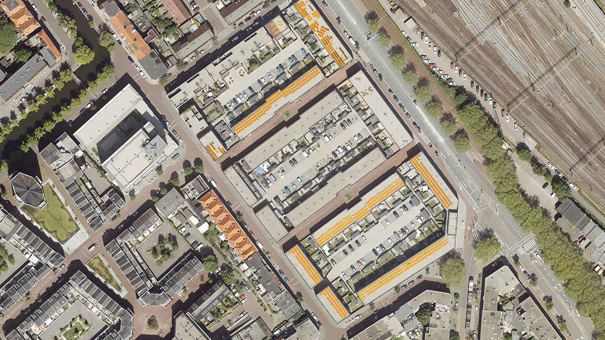
Hexagon offers data access to any company in the artificial intelligence/machine learning space that wants to produce analytics products. The Hexagon technical team works with a multitude of engines and will provide guidance on how to maximize the value of the aerial-derived datasets.
Hexagon’s acquisition of Melown Technologies in 2019 brought advanced expertise in-house. Melown uses aerial images to train algorithms in automated feature extraction of various thematic layers.
Using this knowledge, Hexagon can provide additional services to its customer base and assist resellers and partners that are interested in developing analytics products. The HxGN Content Program encourages the creation of derivative products without excessive restrictions. Resellers and other partners may participate in a free pilot program to demonstrate that their engine works with the streaming or pixel delivery service.
Leveraging the HxGN Content Program
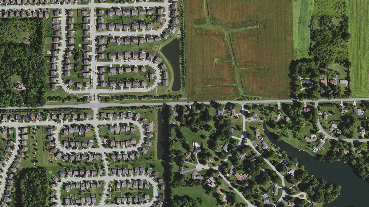
The use of analytics across many industries has grown remarkably over the past few years. With greater computing power and more accurate input data, machine learning is recognized as a highly useful tool to support decision making. An on-demand library of high-resolution aerial imagery that covers large geographic areas, such as the HxGN Content Program, provides the necessary algorithm training data as well as a wealth of current information.
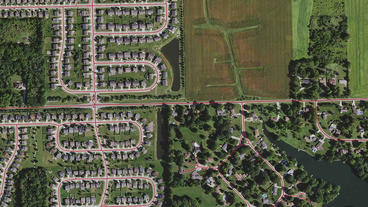
When used together, machine learning and high-resolution aerial imagery automatically update location-based information faster and at a lower cost as compared to traditional methods of extracting information. The HxGN Content Program allows customers from different industries to select their area of interest and extract a variety of features, including man-made structures such as buildings, roads, pools, driveways and solar panels.
For example, a developer may create a feature extraction algorithm that identifies risk factors for insurance providers. Another developer may build a solar panel quotation tool that searches for roof obstructions that would add to installation costs. More accurate estimates reduce cost overruns and save the installer time and money.
Change detection, land classification and updated cadastral databases are also generated faster and more accurately with machine learning. Natural objects like trees can be identified to monitor deforestation, tree diseases, and pests. Other applications include comparing as-builts against building and zoning regulations, optimising the location of 5G network towers, and enhancing augmented/virtual reality applications.
A consistent, current and accurate image dataset is a necessary component of machine learning products. Through partnerships between source data providers like Hexagon and developers of machine learning technology, value added products are being generated that extract the required information to meet the end users’ needs. Revenue sharing is a common model when it comes to data sales and offers a low barrier of entry to data access. It allows the engine developer to benefit and the data provider to be compensated for the value the data contributes.
