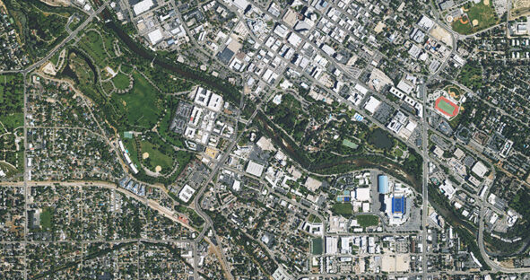
(Washington, D.C., U.S.A., 12 June 2025 – Hexagon’s Geosystems division announces an update to its Hexagon Content Program, refreshing high-resolution…

(Washington, D.C., U.S.A., 12 June 2025 – Hexagon’s Geosystems division announces an update to its Hexagon Content Program, refreshing high-resolution…

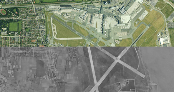
COPENHAGEN, Denmark, (4 December 2024) — Hexagon’s Geosystems division announced today that the Hexagon Content Program, the largest library of…

Aerial data provides a detailed visual representation of the world around us, serving as a powerful solution to spatial analysis…

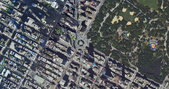
(Norcross, Georgia, U.S.A., 9 May 2023) Hexagon’s Geosystems division announced today that the HxGN Content Program will refresh aerial data…

The HxGN Content Program offers an extensive collection of high-resolution countrywide aerial imagery across North America and Western Europe. The…