The HxGN Content Program is the only aerial imagery solution offering wall-to-wall coverage of the contiguous United States and most of Europe. Since the launch of the Program in 2014, over 9 million square miles of aerial data have been captured and processed, offering RGB and CIR orthophotos, stereo imagery, and digital elevation models.
During 2020, we captured 822,030 square miles of data across six states in the United States, and we’re working hard to ensure optimal image quality and consistency through our rigorous quality control processes. Here are the first six states that will be available from the Program’s third refresh cycle.
1. California
6-inch resolution for metros and 12-inch coverage statewide is currently being processed and added to the HxGN Content Program. Check out the Coverage Map to see what’s available today.
San Jose, California
2. Oregon
6-inch resolution for metros and 12-inch coverage statewide is currently being processed and added to the HxGN Content Program. Check out the Coverage Map to see what’s available today.
Portland, Oregon

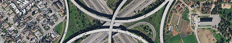
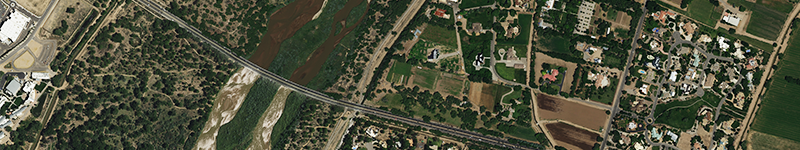
3. Texas
6-inch coverage statewide is currently being processed and will be available for purchase soon!
San Angelo, Texas
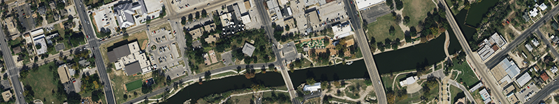
4. Nebraska
12-inch statewide coverage is now available on the Data Store for streaming and download.
Omaha, Nebraska
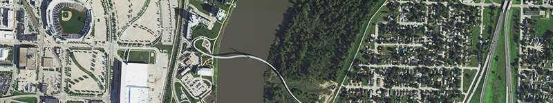
5. New Mexico
12-inch statewide coverage is now available on the Data Store for streaming and download.
Albuquerque, New Mexico
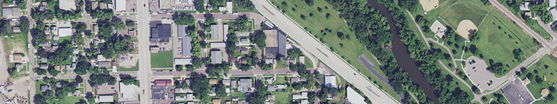
6. South Dakota
12-inch coverage statewide is currently being processed and will be available for purchase soon!
Sioux Falls, South Dakota