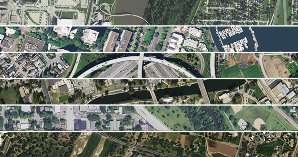
The HxGN Content Program is the only aerial imagery solution offering wall-to-wall coverage of the contiguous United States and most…

The HxGN Content Program is the only aerial imagery solution offering wall-to-wall coverage of the contiguous United States and most…
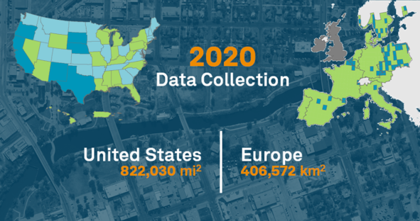
The HxGN Content Program is finishing the year strong, capturing and processing 822,030 square miles in the United States and…

At the NSGIC 2020 Annual Conference, Hexagon announced the launch of Content+, a new initiative that provides state governments with…
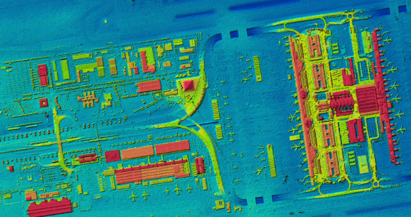
First current, homogeneous and countrywide digital surface model (DSM) of Germany based on aerial data The federal structure of the…
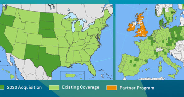
The HxGN Content Program is on track with its third refresh cycle for North America and Europe with an update…