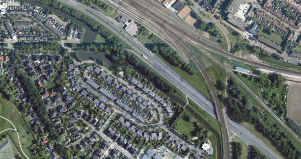
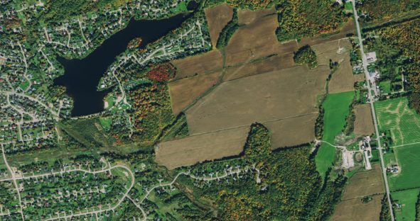
High-resolution aerial imagery helps hunters plan and prepare
Traditionally, hunting information has been shared by word of mouth among friends and family, but with the abundance of readily-available…
Traditionally, hunting information has been shared by word of mouth among friends and family, but with the abundance of readily-available…

The HxGN Content Program has undergone many updates since its announcement in 2014. From now providing 3D models to high-definition…

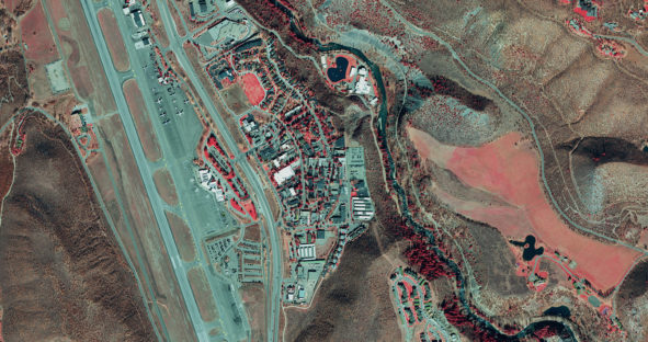
When Pitkin County Geospatial Technical Lead Mary Lackner put out a Request for Proposal (RFP) for aerial imagery of the…

Discover how a statewide orthoimage basemap supports the deployment of the Kansas emergency service call system. The Kansas 9-1-1 Coordinating…