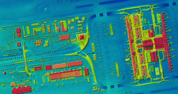
First current, homogeneous and countrywide digital surface model (DSM) of Germany based on aerial data The federal structure of the…

First current, homogeneous and countrywide digital surface model (DSM) of Germany based on aerial data The federal structure of the…

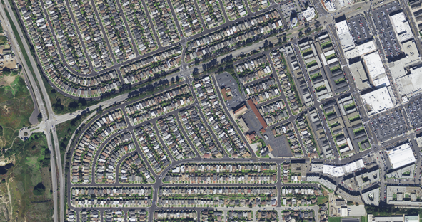
This article was originally posted on Filling Space. Geospatial imagery provides valuable information about Earth’s surface which can provide useful…

I’ve tracked trends and innovations in virtual reality (VR) and augmented reality (AR) for many years, trying to anticipate how and when these…

It’s estimated it took until the early 1800s for the world population to reach one billion – then in just…

You might be asking yourself why to pay for airborne imagery when you can get it for free. Although open-source…