Germany in 3D – Professional GIS Data for Everyone
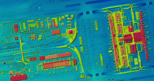
First current, homogeneous and countrywide digital surface model (DSM) of Germany based on aerial data The federal structure of the…

First current, homogeneous and countrywide digital surface model (DSM) of Germany based on aerial data The federal structure of the…

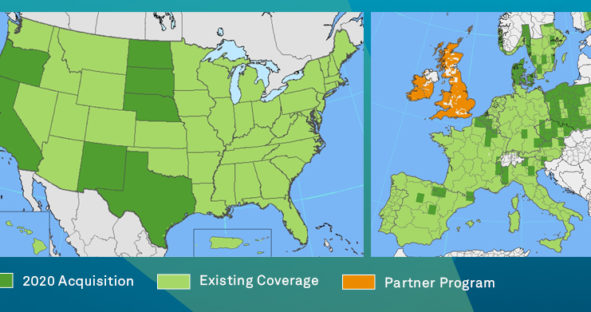
The HxGN Content Program is on track with its third refresh cycle for North America and Europe with an update…

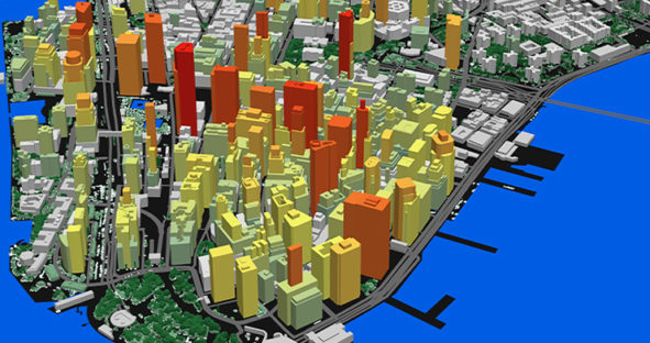
The development of fifth generation wireless technology (5G) is spreading rapidly around the world. The initial improvement of up to…

The HxGN Content Program provides highly accurate aerial orthophotos, DSMs and stereo imagery covering the entire United States, Europe and…