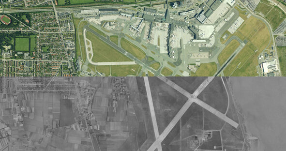
Mapping Denmark’s development: a multi-decade journey with Hexagon’s aerial orthoimagery program
Aerial data provides a detailed visual representation of the world around us, serving as a powerful solution to spatial analysis…

Aerial data provides a detailed visual representation of the world around us, serving as a powerful solution to spatial analysis…