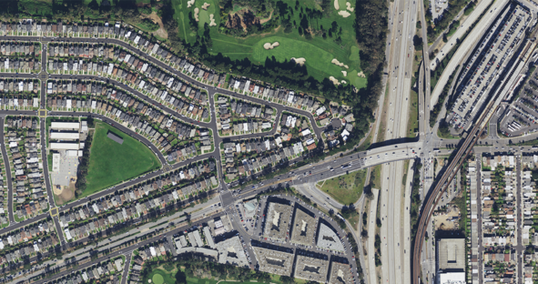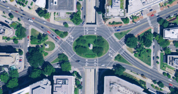
HxGN Content Program releases new U.S. aerial imagery of more than half the country
Latest collection covers 26 states WASHINGTON, D.C., USA (23 April 2019) — Hexagon’s Geosystems division announced today the HxGN Content…

Latest collection covers 26 states WASHINGTON, D.C., USA (23 April 2019) — Hexagon’s Geosystems division announced today the HxGN Content…

Latest imagery collection refreshes almost half of the U.S. while significantly (WASHINGTON, D.C., Aug. 7, 2018) – Hexagon’s Geosystems Division,…

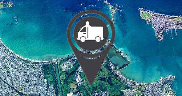
Our thoughts are with those affected by hurricanes Irma and Maria. To support recovery efforts, the HxGN Content Program is…

The Hexagon Imagery Program, or HxIP, has released captured airborne imagery for approximately 25 percent of the U.S. and Canada…