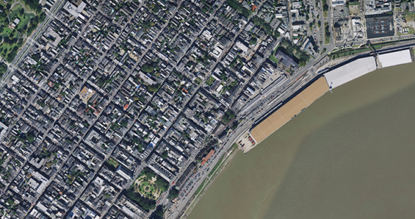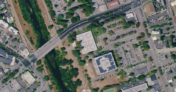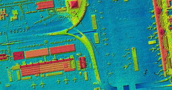
In support of the recovery and humanitarian efforts associated with Hurricane Ida, Hexagon is offering Louisiana’s pre-disaster aerial imagery freely…

In support of the recovery and humanitarian efforts associated with Hurricane Ida, Hexagon is offering Louisiana’s pre-disaster aerial imagery freely…

(Washington, DC, USA, 03 August 2021) Hexagon’s Geosystems division, a global leader in sensor, software and autonomous solutions, announces the release…

Texas leverages new Content+ licensing model from the HxGN Content Program to obtain updated single-season imagery with higher refresh rates…

888,035 square miles of high-resolution aerial imagery and digital elevation data will be captured in 2021 as part of Hexagon’s…

HxGN Content Program delivers airborne DSM to the Federal Agency for Cartography and Geodesy (BKG) (MUNICH, Germany, 13 October 2020) -…